EDGE
Interpreted where it's captured — no expert queue
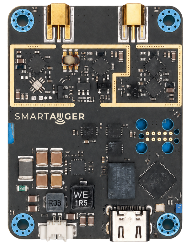
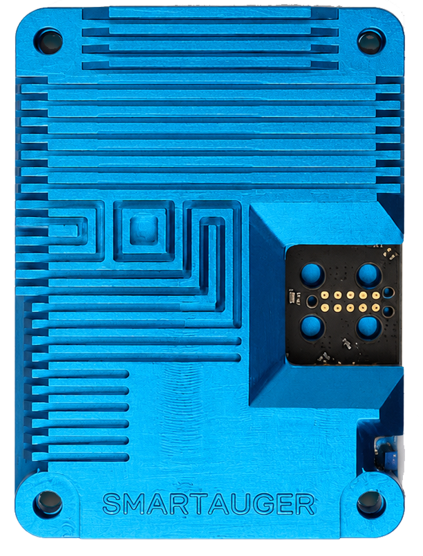
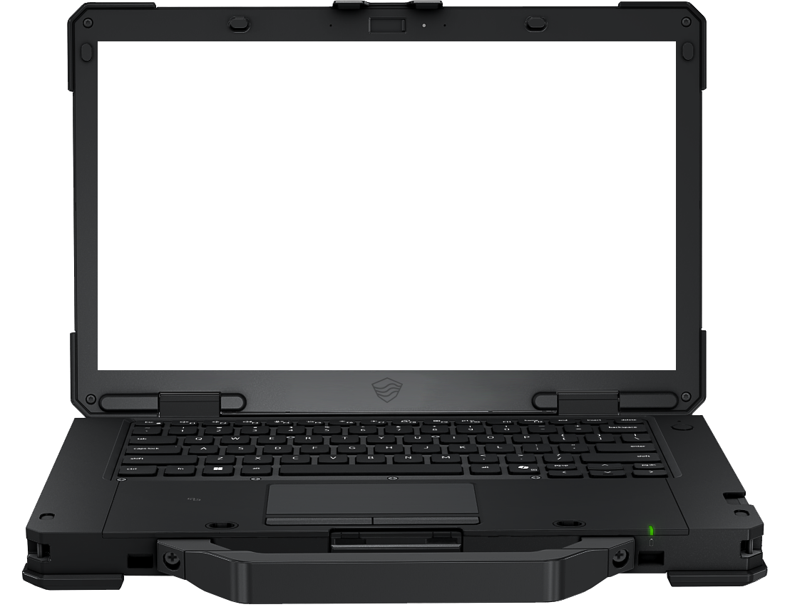
At the edge. Cloud when it counts. Onboard processing in the field, with cloud capability for compute-intensive DSP chains.
A council of expert models. Target detection, conflation, automated depth estimation, and more — evolving with every scan.
One dataset — understood at every level. Visualized for the field and for HITL expert review, with full provenance. Actionable intelligence at every stage of the process. GIS · TAK · OGC out.
Subsurface sensing still means pulled disks, stacked software, and a waiting expert.
We automate the entire chain — interpretation included.
Every scan lives on — stored, queryable, ready when the next job or mission asks.